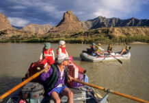
Photos: Labyrinth and Desolation Canyons along Green River
This page features photos of the Green River in Labyrinth and Desolation canyons in eastern Utah.
The Green River, the main tributary of the Colorado River, flows through some of...
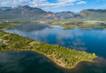
Photos: Dillon Reservoir aerials, July 2021
This page features drone-captured imagery of Dillon Reservoir in Summit County, Colorado.
Created by a 231-foot-tall earth-fill dam, Dillon Reservoir contains over 250,000 acre-feet of water when at full capacity....
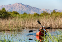
Photos: Laguna Grande Restoration Area, Mexico
This page features photos of the Laguna Grande Restoration Area in Baja California, Mexico.
The Laguna Grande Restoration Area is a 1,200-acre plot of land located on the Colorado River’s...
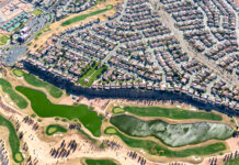
Photos: St. George, Utah and the Virgin River
This page features aerial and ground-based photos of St. George, Utah and the Virgin River outside of Hurricane, Utah.
St. George in a city in southwestern Utah on the Arizona...
Photos: Salton Sea aerials, October 2018
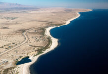
This page features aerial imagery of the Salton Sea in Southern California.
The Salton Sea is a shallow, highly saline lake bordering southern California’s Imperial County. The lake was created...
Photos: San Pedro River, Arizona
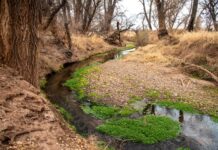
This page features photos of the San Pedro River in southeast Arizona, a hotspot for biological diversity.
The San Pedro River originates about 10 miles below the international border, just...
Photos and videos: Rio Grande Headwaters, April 2021
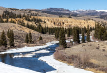
This page features drone-captured and ground-based photos and videos of the Rio Grande near its headwaters in southern Colorado.
The Rio Grande begins in the San Juan...
Navajo water
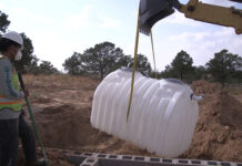
Many residents on the Navajo Reservation are now enjoying clean, running water and solar power in their homes, benefiting from DigDeep’s ambitious project to transform their daily lives with...
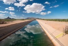
Photos: Central Arizona Project
This page features photos of the Central Arizona Project (CAP) canal, a cornerstone of Arizona's water supply.
Created in 1968 by the Colorado River Basin Project Act, the CAP is...
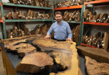
Photos: University of Arizona Laboratory of Tree-Ring Research
This page contains photos from the Laboratory of Tree-Ring Research in the University of Arizona’s College of Science.
The Laboratory of Tree-Ring Research is a global hub of dendrochronology: the...


