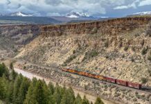
Photos: Colorado River and tributaries, April 2019
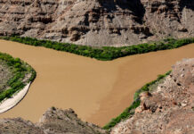
This photo gallery features images shot during a road trip along the Colorado River and two of its tributaries in Colorado: the Blue River and White River.
DateApril...
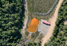
Decades later, abandoned mines continue to haunt Colorado’s waterways
According to a 2017 study, there are over 23,000 abandoned mines across Colorado and 1,800 miles of streams that are impaired due to pollutants related to acid mine drainage.
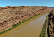
Video and photos: Colorado River drone footage near Moab
This page features drone-captured footage and photos of the Colorado River near Moab, Utah.
The imagery shows the Colorado as it approaches Moab, with State Route 128 bordering the river.
After...
Some Western cities offer residents “cash for grass” to reduce irrigation
A study in 2016 showed that lawns are the largest irrigated crop in America.
Does cloud seeding work? Scientists watch ice crystals grow inside clouds to find out
Cloud seeding occurs in more than 50 countries, but we still don’t know whether it works.
Data viz: surveying Colorado River Basin maps
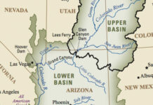
This collection of Colorado River Basin maps includes public domain images and other cartographic resources for depicting the watershed.
Photos: Front Range aerials, May 2019
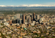
This photo gallery features images shot during a Lighthawk aerial tour of water-related sites along Colorado's Front Range.
After departing from Rocky Mountain Metropolitan Airport in Broomfield, the flight...
A dry subject: how scientists map drought conditions
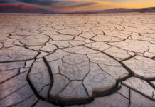
Scientists have a variety of measures of drought, but some are starting to use the term "aridification" to describe the long-term drying of the Southwest.
Glossaries
It’s hard to understand water issues unless you know the lingo. Here are some helpful water-related glossaries on the web:
The U.S. Geological Survey's Dictionary of Water Terms offers a...


