Data viz: explore our interactive dashboards for drought, precipitation and snowpack
These maps and visualizations let you interact with vital data on our water supply.
A dry subject: how scientists map drought conditions
Scientists have a variety of measures of drought, but some are starting to use the term "aridification" to describe the long-term drying of the Southwest.
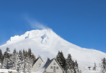
Climate change will mean more multiyear snow droughts in the West
Ifclimate change continues relatively unabated, consecutive years with snow drought conditions will become much more common, with impacts on cities, agriculture, forests, wildlife and winter sports.
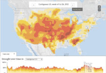
Map: weekly drought reports
This map depicts data from the National Drought Mitigation Center. Drought intensity categories are based on numerous indicators and local reports from more than 350 expert observers around the...
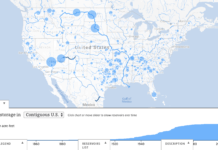
Map: U.S. dams and reservoirs
The Global Reservoir and Dam Database (GRaND) is a survey listing about 7,000 larger dams and reservoirs worldwide, including 1,920 in the United States. Data includes such parameters as...
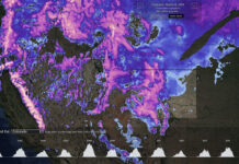
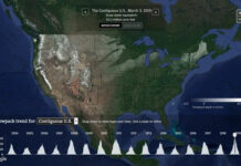
Map: daily nationwide snowpack
This map shows daily snowpack estimates for the contiguous United States since October 2003. Using the dropdown menu above the chart – or clicking a state on the map...


