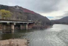
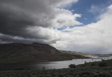
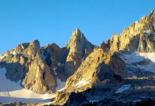
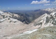
Map: Winter photo galleries
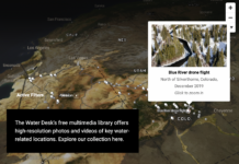
Use this interactive map to browse our collection of free-to-use photos and videos.
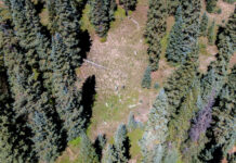
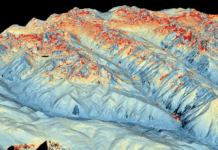
Scientists use simple cameras to answer complex questions about forests and the snowpack
“Snowtography” captures how the snowpack can vary dramatically across short distances
Epic snow from all those atmospheric rivers in the West is starting to melt,...
A meteorologist explains how 2023’s storms compare to past extremes and what to expect in the future.
Early peak runoff for Western Slope rivers
Snowpack in Colorado is melting earlier than expected due to an increase in dust storm severity.
Spring runoff forecast looks better than last two years
Colorado’s predictions for spring runoff are looking better than the past two years, but streamflows are still expected to be below normal.
La Niña likely to continue, intensifying drought, wildfires; snowpack hits 91% of average
Colorado's drought may continue into the fall, bringing a third year of below-average snowpack and streamflows and high wildfire danger.
Snow can disappear straight into the atmosphere in hot, dry weather
Scientists are exploring how droughts can lead to chronically dry soil that sucks up more water than normal in the American West.
New dust-on-snow monitoring technology coming to Steamboat lab, expanding a growing snowpack data network
Technology to study the impact of dust on downwind mountain ecosystems in Colorado and Utah will likely be installed in the Rockies this fall.
Program expanding to map Colorado mountain snowpack
Front Range water providers hope to expand a program that uses a new technology they say will revolutionize water management in Colorado.
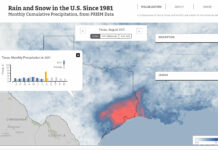
Map: monthly average precipitation
This map shows total rain and snowfall in the contiguous United States, every month from 1981 to the present. The map's color scale runs from white (no precipitation), to blue (significant precipitation) to red (intense...


