The
Snow
Desk
Covering snow science and tracking the American West’s snowpack
The Snow Desk reports on news and trends related to snow and the American West’s snowpack—a vital and endangered source of freshwater, biodiversity, recreation and economic vitality in the region.
The Colorado River, Rio Grande and many other important rivers in the West are primarily supplied by the mountain snowpack, which serves as an essential frozen reservoir and is the cornerstone of the region’s water management.
Climate change has already diminished the West’s snowpack, with warming global temperatures leading to earlier peaks and shorter seasons, especially at lower elevations and in areas closer to the coast.
Snowpack stories
Stories related to the snowpack that The Water Desk has published since 2019
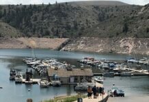
The fun is back at Blue Mesa and other reservoirs, as heavy winter snows...
Southwestern Colorado’s Blue Mesa Reservoir, drained by years of drought and a major release of water designed to aid a plummeting Lake Powell, is experiencing a rebirth this summer.
It’s all white: Colorado statewide snowpack tops 140%, though reservoirs still low
Drought in the West persists, but the increase in snowpack will likely allow for a significant recovery in reservoirs and soil moisture.
Regional snow reporting from The Water Desk and our partners
Rocky Mountains
The fun is back at Blue Mesa and other reservoirs, as heavy winter snows...
Southwestern Colorado’s Blue Mesa Reservoir, drained by years of drought and a major release of water designed to aid a plummeting Lake Powell, is experiencing a rebirth this summer.
It’s all white: Colorado statewide snowpack tops 140%, though reservoirs still low
Drought in the West persists, but the increase in snowpack will likely allow for a significant recovery in reservoirs and soil moisture.
California
Epic snow from all those atmospheric rivers in the West is starting to melt,...
A meteorologist explains how 2023’s storms compare to past extremes and what to expect in the future.
Why rain on snow in the California mountains worries scientists
Professor Keith Musselman explains the complex risks rain on snow creates and how they might change in a warming climate.
Measurement and trends
Map: Winter photo galleries
Use this interactive map to browse our collection of free-to-use photos and videos.
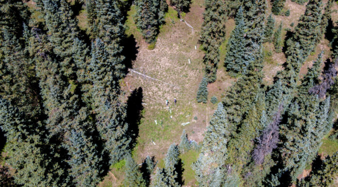
Scientists use simple cameras to answer complex questions about forests and the snowpack
“Snowtography” captures how the snowpack can vary dramatically across short distances
Epic snow from all those atmospheric rivers in the West is starting to melt,...
A meteorologist explains how 2023’s storms compare to past extremes and what to expect in the future.
Early peak runoff for Western Slope rivers
Snowpack in Colorado is melting earlier than expected due to an increase in dust storm severity.
Spring runoff forecast looks better than last two years
Colorado’s predictions for spring runoff are looking better than the past two years, but streamflows are still expected to be below normal.
Related multimedia
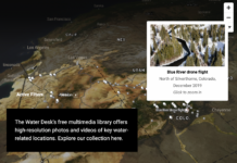
The Water Desk offers a free multimedia library with photos and videos of key water-related locations and topics. All of our imagery is available for non-commercial re-use under a Creative Commons license.
Photos: Colorado River headwaters flight, October 2019
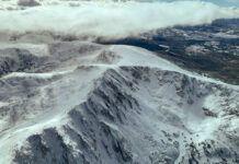
This photo gallery features images shot during a Lighthawk flight to the Colorado River headwaters and surrounding areas.
The flight began at Rocky Mountain Metropolitan Airport in Broomfield, proceeded...
Map: Winter photo galleries
Use this interactive map to browse our collection of free-to-use photos and videos.
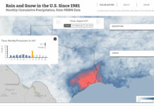
Map: monthly average precipitation
This map shows total rain and snowfall in the contiguous United States, every month from 1981 to the present. The map's color scale runs from white (no precipitation), to blue (significant precipitation) to red (intense...
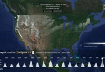
Map: daily nationwide snowpack
This map shows daily snowpack estimates for the contiguous United States since October 2003. Using the dropdown menu above the chart – or clicking a state on the map...


